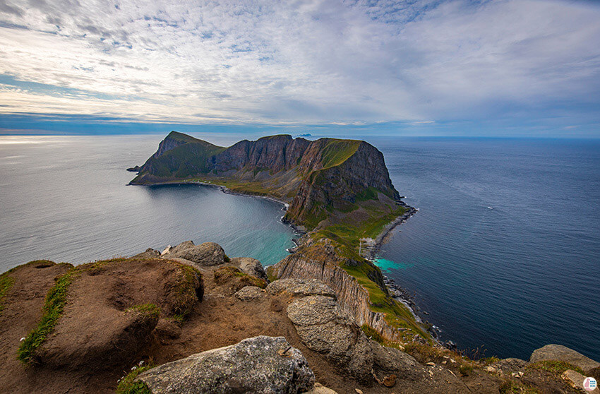
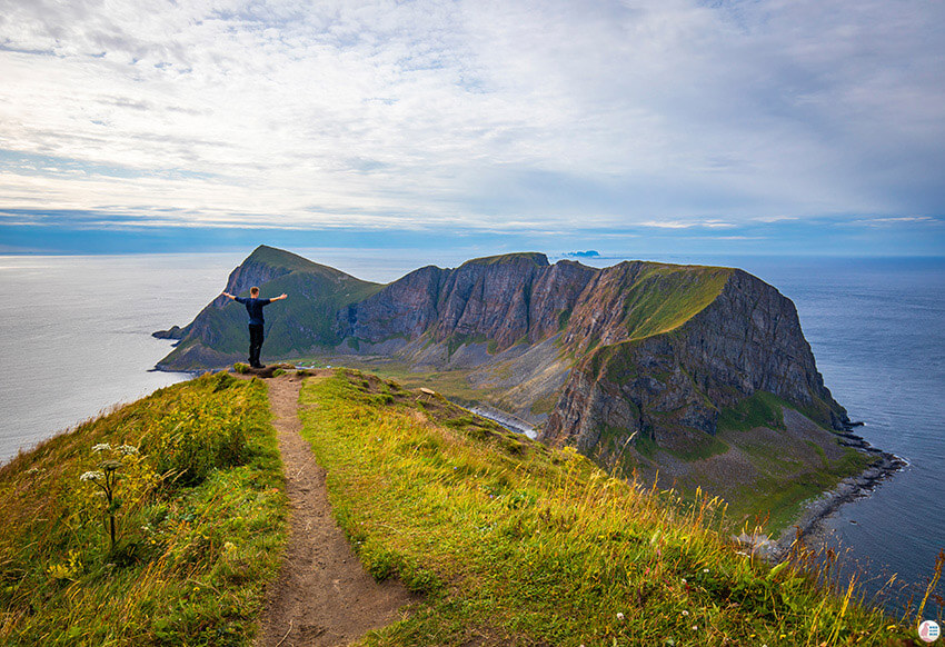
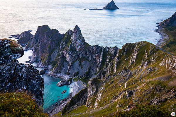
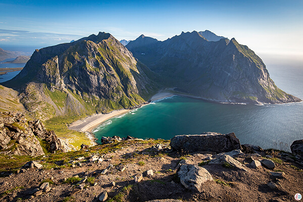
I first saw a picture from Måstadfjellet viewpoint in the National Geographic magazine and ever since I wanted to visit Værøy!
We visited Værøy island at the end of August and, of course, the main attraction was Måstadfjellet viewpoint (also called Håen on the map). You can check more about this island in my other blog post, "Visit Værøy - Things to see on this wild and remote island in Lofoten, Northern Norway"
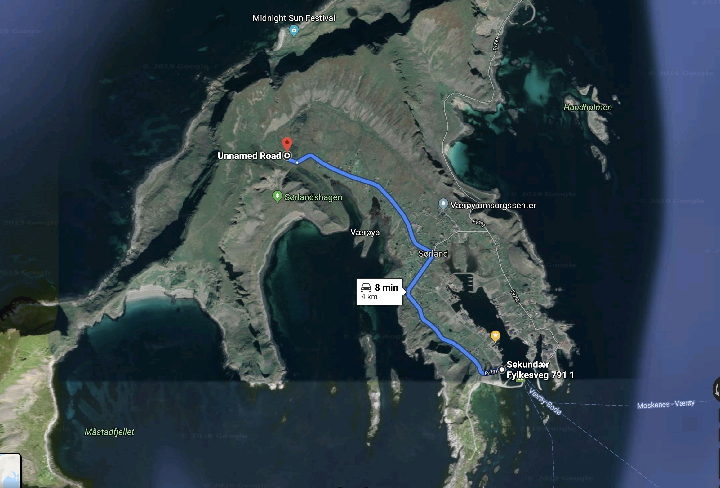
The path that you need to take to get to the viewpoint is a bit confusing. First you need to drive to this point on the map below by following Marka road.
When you arrive to the point on the map you'll see a parking and 2 blue buildings. The path starts from between the 2 buildings and the easy one is called "Heia".
We have noticed that there is a road leading straight to the viewpoint, so first we thought that we can actually drive there. The road seems to be closed to public access, which means you'll need to hike/walk there. You will also notice a tunnel and we thought that we can walk through it, however access is closed also here (even for walking). To be honest that tunnel looked very dark and scary, so I wouldn't want to walk in there anyway :)
The hike/walk is around 3.5 km long trail (one way) and you'll see that it goes a bit steeper at the beginning (a real hiking path) and then it connects with the paved road. The steeper part is not that difficult and then there is paved road all the way to the viewpoint, so this is a really easy path. You will see already when you arrive to the island a weather station on top of the mountain, so that is where the viewpoint is located. The whole trip took us around 3 - 3,5 hours (round way).
If you want a more demanding hiking path there is also Håheia, which doesn't follow the paved road. I am not a good hiker, so we chose the easy way up.
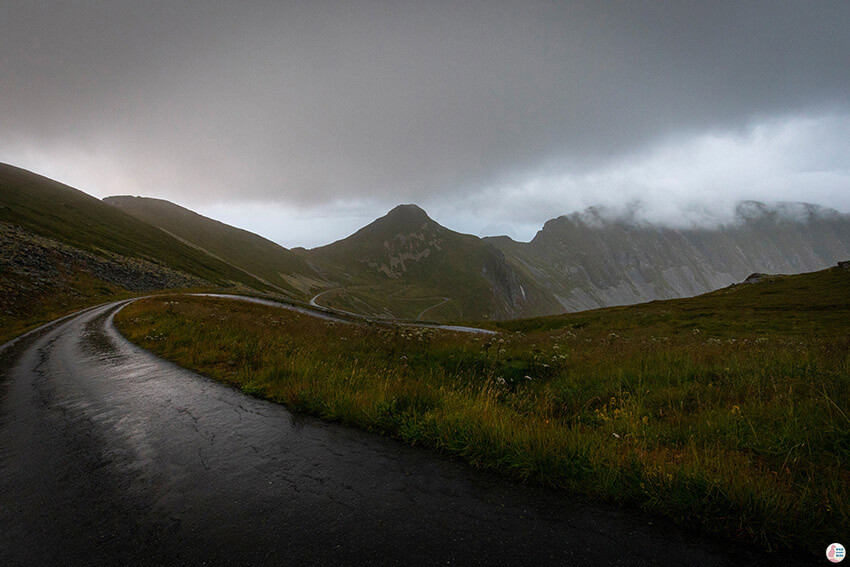
You may have read that the weather changes quite dramatically on this island and that is really true. I have experienced this myself while hiking the first time to Måstadfjellet viewpoint. That's right, "first time"! Thanks to the weather I actually had to return the next day.
So when we arrived to Værøy it was all sunny and nice and we went to the beach to check out the scenery. After hanging around there, we decided to take advantage of the nice weather and already go to Måstadfjellet viewpoint on the first day. While hiking, the weather changed a bit to cloudy and then the higher we went, the worse it got. It started raining, but it was still ok.
Just 5 minutes before we reached the viewpoint a huge fog, cloud and wind just came from the other side of the mountain and in 30 seconds everything was dark and you couldn't see anything anymore. The wind was terrible and the droplets of rain turned into sharp "objects" hitting your face. Honestly this whole dramatic change was a a bit scary, since it came so fast!
The closer we got to the viewpoint, the windier it got. When we finally reached it, it was so windy that we didn't dare to go to the small path where all the pictures are taken from. Like all the places in Norway, there are no fences that can keep you from falling, so one bad move and you are done for. We decided to not take any chances and we turned back.
Next day the weather looked promising, so first thing we did was to go back and hike to Måstadfjellet viewpoint. This time the weather actually remained nice until we reached the top. I managed to make my way to the small path and take the famous picture.
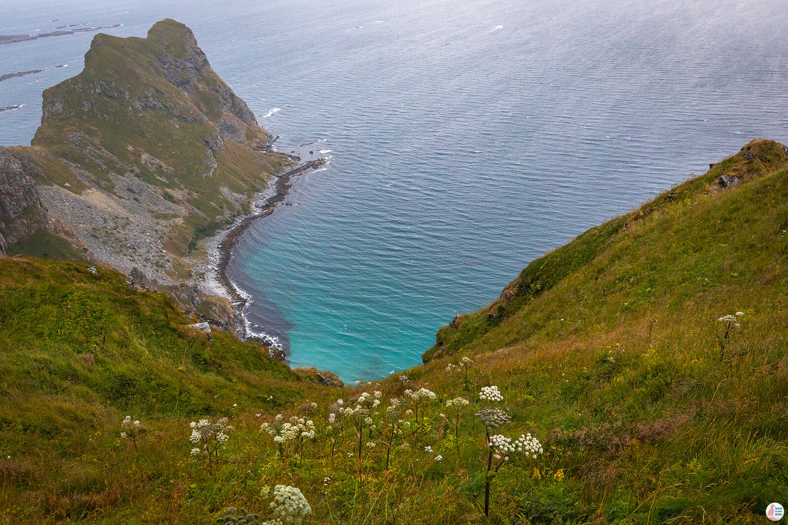
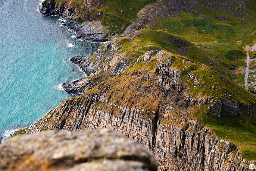
The way down looks long and steep and it seems that the older I get, the more scared I am of falling. When I was walking on that path my knees felt like jelly and I was there only for the time it took me to snap a few pictures.
After a couple of minutes I went to the safety of a nicer spot, next to a building and a fence that belong to the weather station.
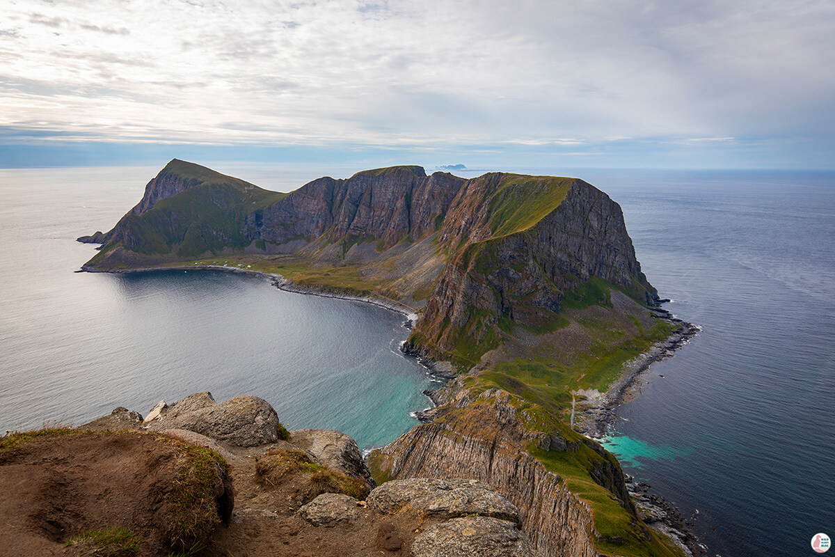
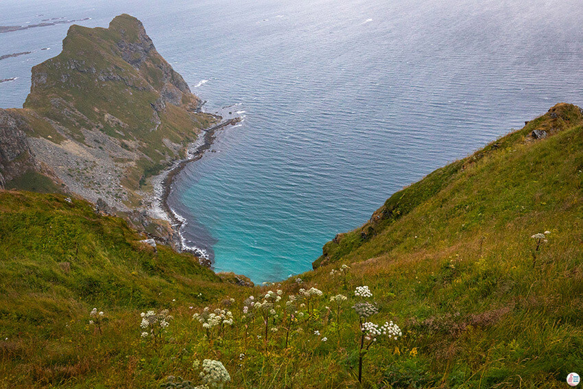
An amazing view that you get is towards Punn Sanden beach.
In the distance you can see the abandoned village of Måstad and there seems to be a path going down, all the way to the village, however it looked pretty treacherous to me. There is another path going to Måstad from the other side of the island (check my other blog post about "Visit Værøy - Things to see on this wild and remote island in Lofoten, Northern Norway"). Also you can reach Måstad by boat, while checking the birds in the area as well.
There are other paths that you can check out on the way back, like this one below, however they don't really look like real hiking trails, but more like very small paths made by someone in the grass.
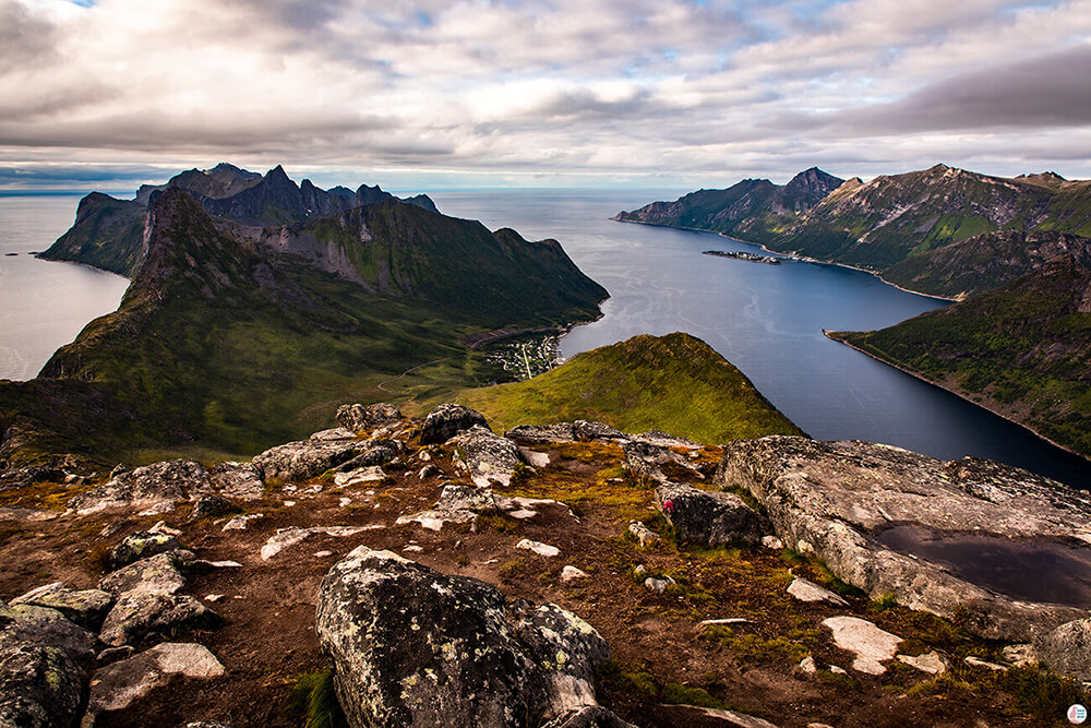
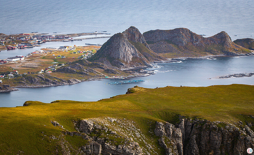
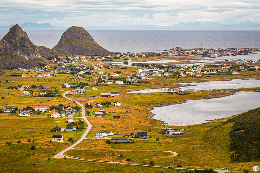
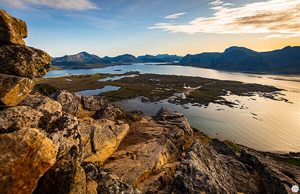
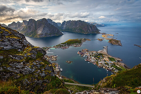
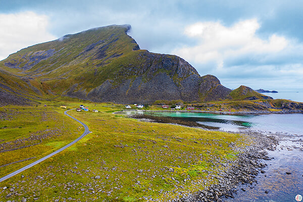
On the way to Måstadfjellet viewpoint you will see great views of the Værøy municipality and there are plenty of pictures to be taken.
Overall this trail is very enjoyable and I really enjoyed my time on this island!
