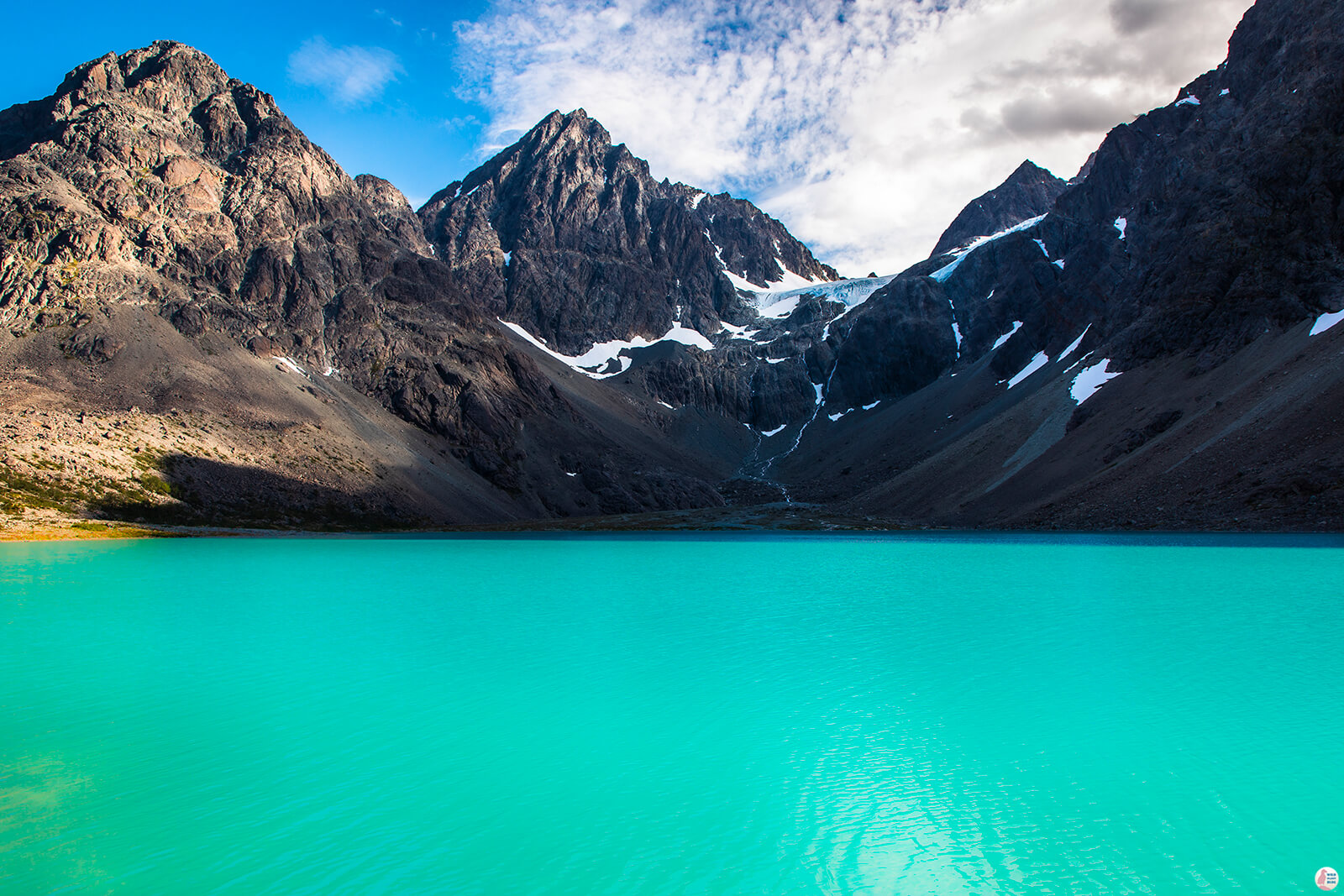
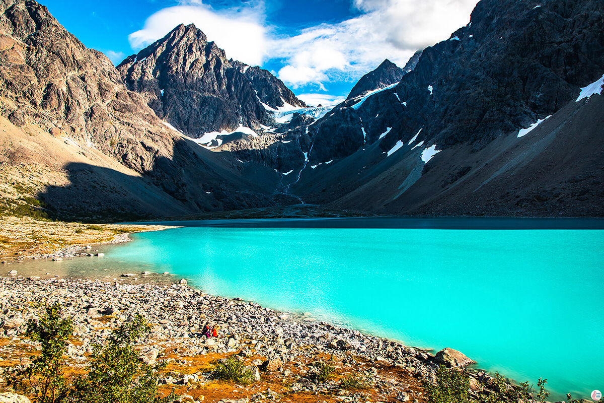
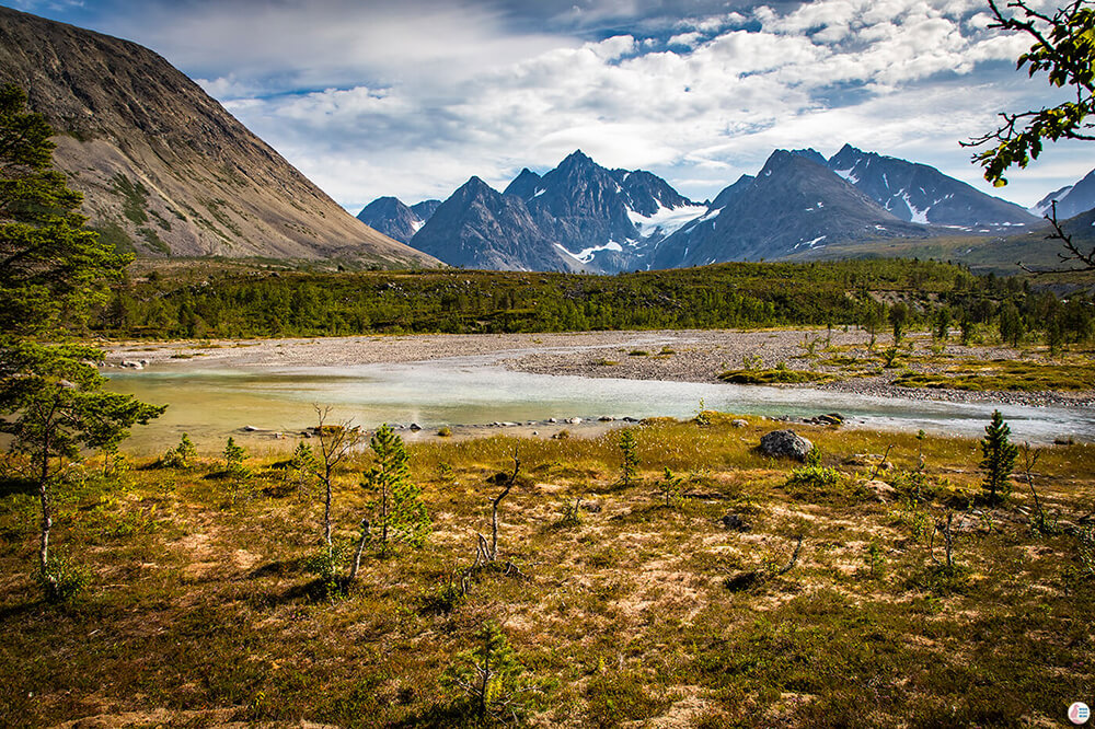
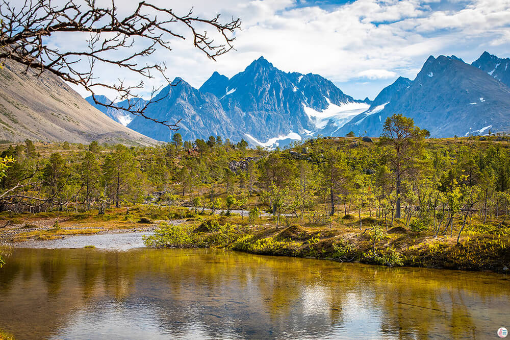
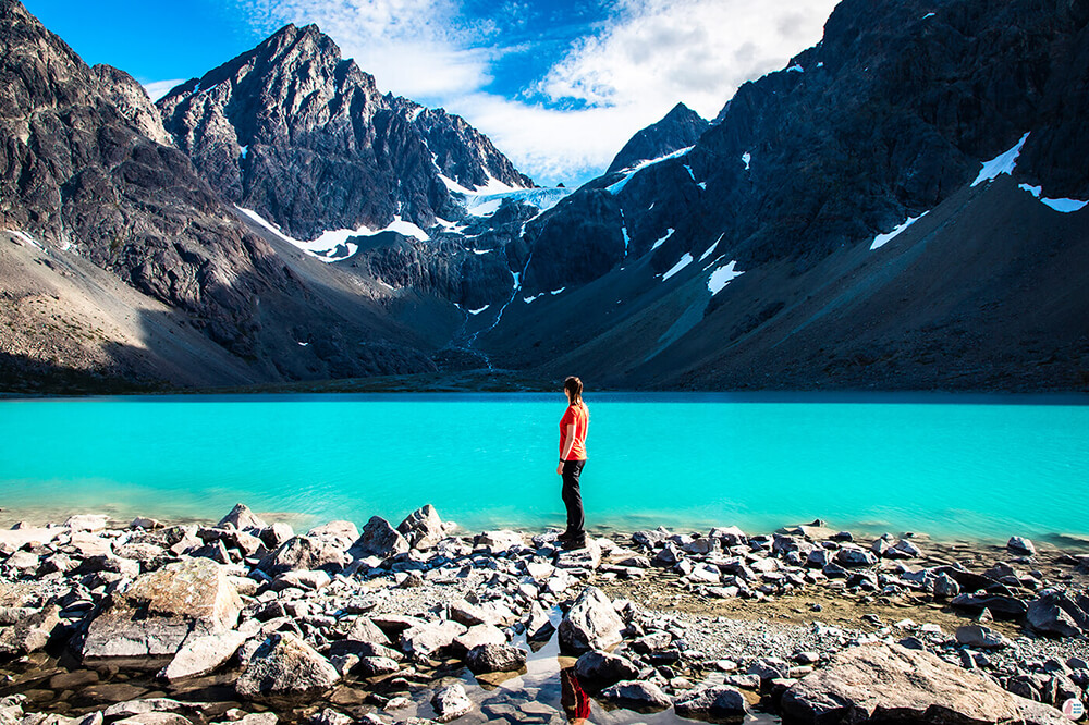
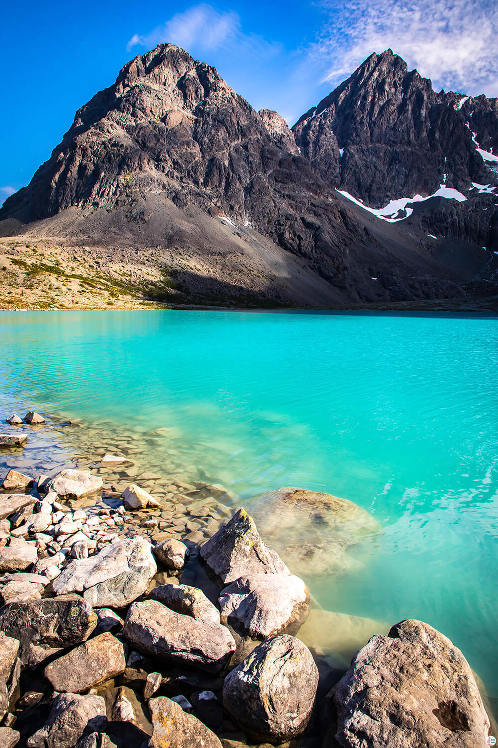
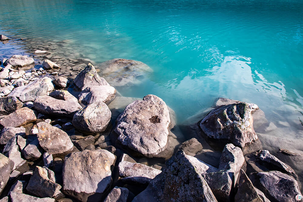
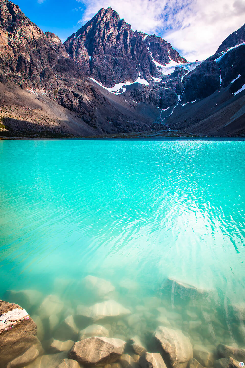
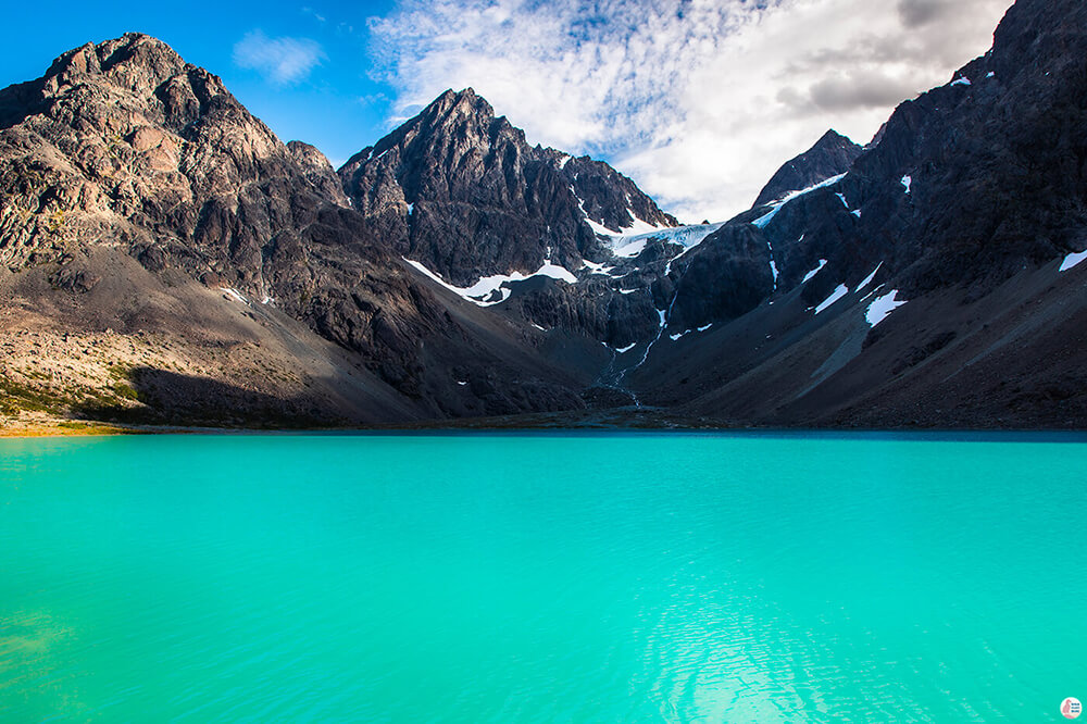
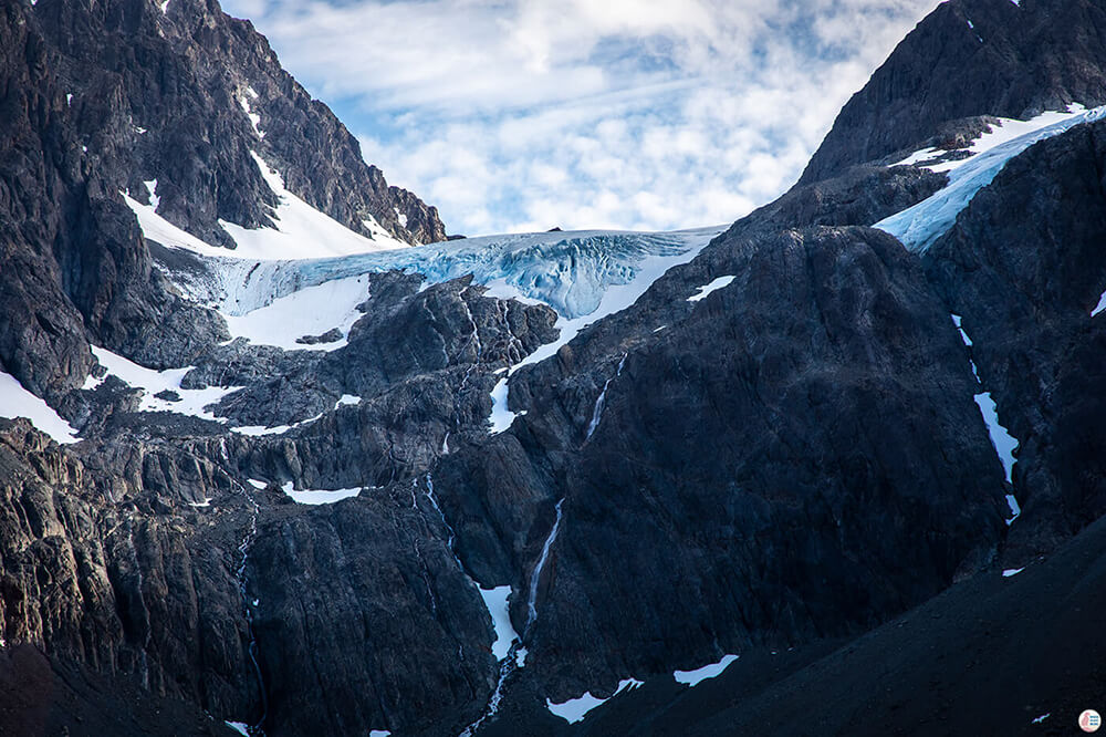
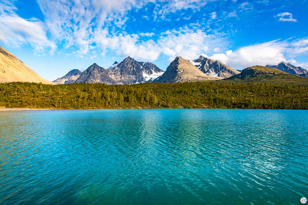
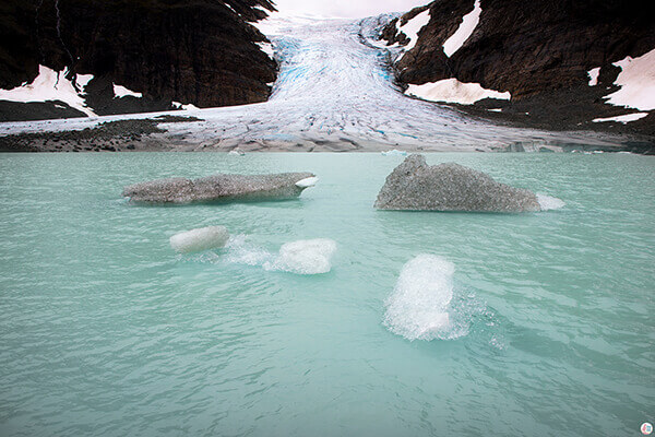
Blåisvatnet gets its wonderful blue - turquoise colour from the silt particles that are melting from the Lenangsbreen glacier above it. Silt is a granular material of a size between sand and clay, whose mineral origin is quartz and feldspar. Water, ice and wind can easily transport silt and deposit it along the way.
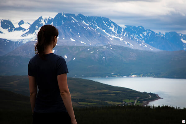
Most of the Lyngen area has this marvellous blue colour, from glaciers and glacier rivers to the fjords, especially the narrow part of the Ullsfjorden between Lyngseidet and Svensby.
Blåisvatnet is one of the most beautiful lakes I have ever seen and the awesome mountains next to it create a really iconic landscape of the Lyngen Alps.
About Blåisvatnet Hiking Trail
Length: 4.2 km one way (8.4 km round way)
Difficulty: easy - medium (medium blue according to Norwegian standards)
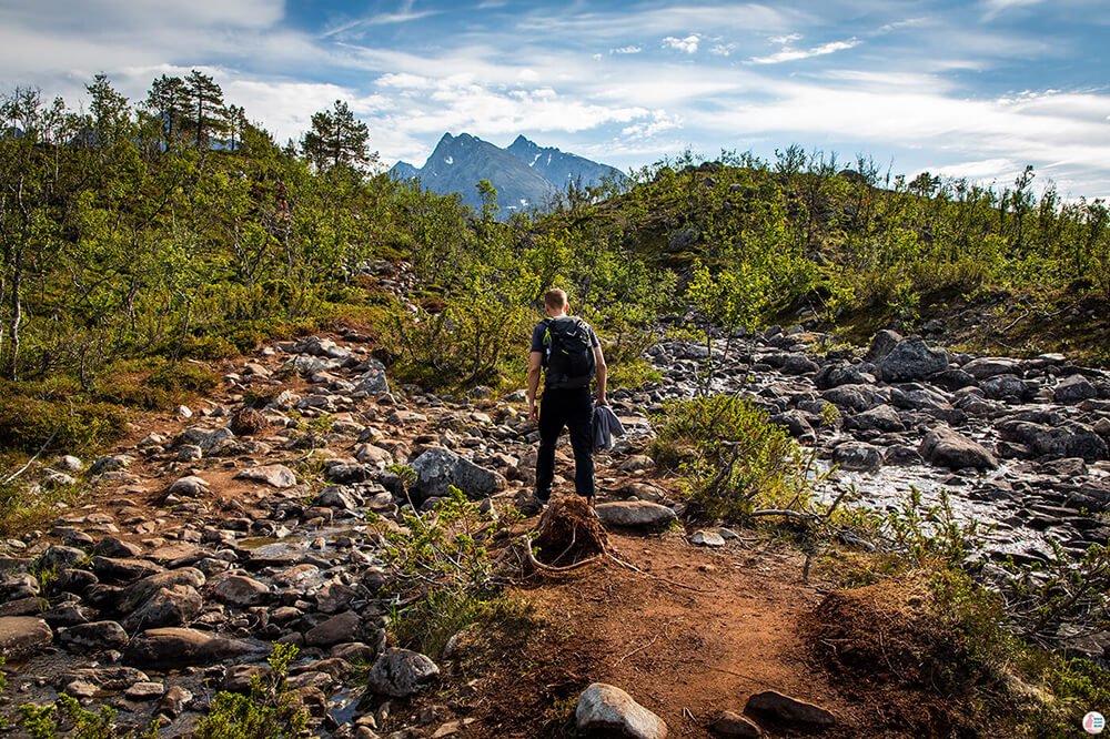
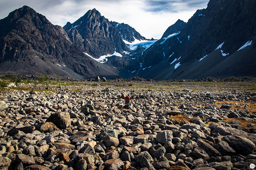
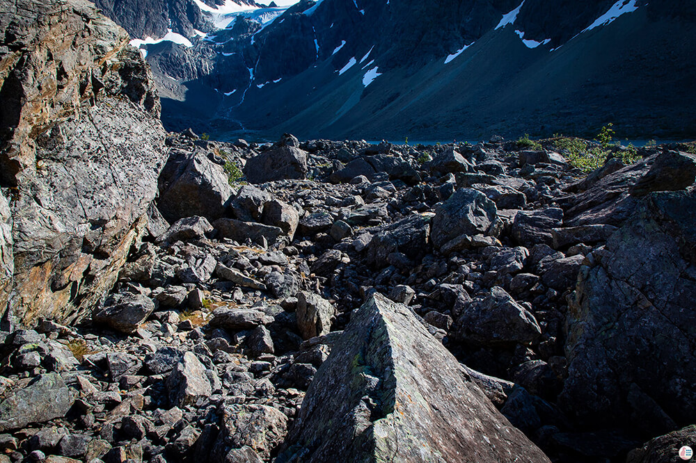
The trail has an elevation of only 189 m and it's mostly flat, however you will be walking on stones most of the way to the lake, so good hiking boots are good to have, best to wear the ones with ankle support. I guess the stones give this trail its medium difficulty as it slows you down quite a lot and it's easy to twist your ankles if you step the wrong way. Check pictures below.
Elevation: 189 m
Time: 3 - 4 h
Season: Summer and Autumn (June - October)
Getting to Blåisvatnet Hiking Trail
Blåisvatnet is located 16 kilometers drive away from Svensby, 2.5 h drive from Tromsø on the Lyngen Peninsula, close to Sørlenangsbotn nature reserve.
See directions on map.
You can enter "Blåvatnet parkering" on Google maps to get to the trail head and the parking lot has a small snack place and a toilet.
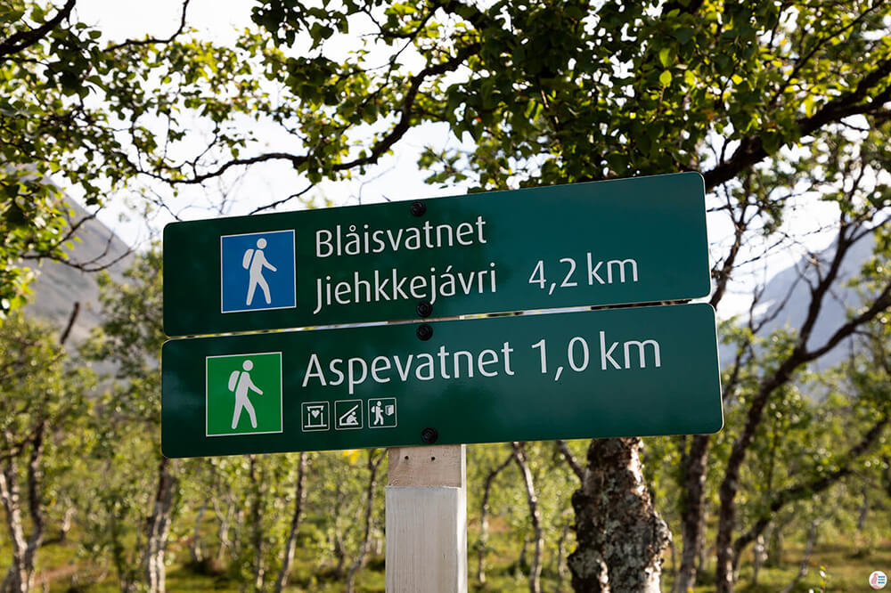
From the same parking lot you can reach also Aspevatnet lake, which is an easy 1 km hike away. You can then continue to Blåisvatnet from Aspevatnet, however it seems that you need to cross a river to get to it and most likely you'll get wet. I recommend following the original trail to Blåisvatnet and then come back and visit Aspevatnet.
Blåisvatnet Hiking Trail - Own Experience
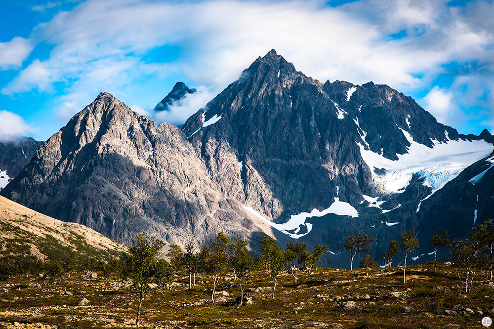
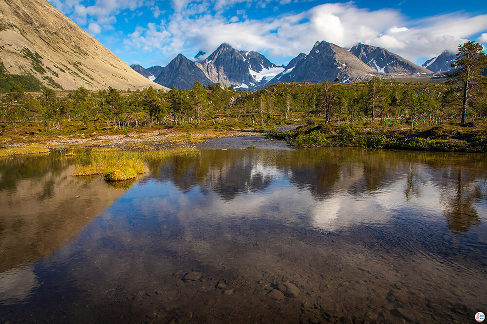
The trail starts off through some small trees, along the glacier river and at this point it's quite easy. There are beautiful landscapes towards the Lenangsbreen glacier and the trail goes all the way to the base of those mountains you see in front of you.
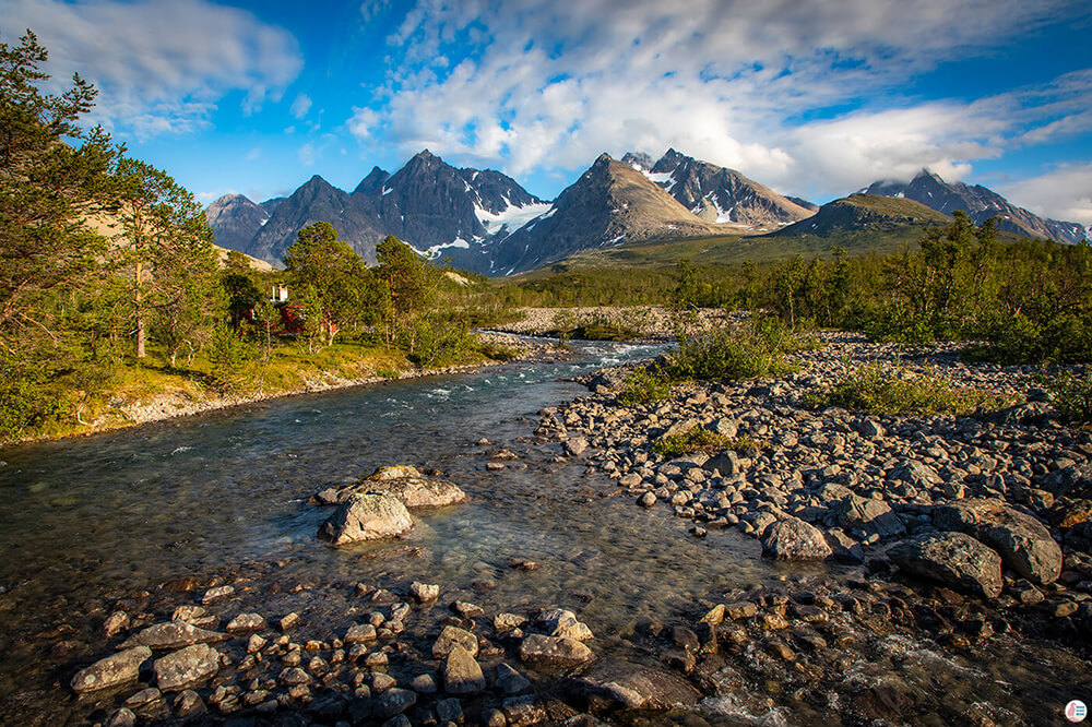
After a small ascent, the hiking trail starts to follow the glacier river bed, which is full of rocks and you'll really need to pay attention where and how you step. If it weren't for my shoes I would have probably twisted my ankles 2 times on this hike, so I definitely recommend good ankle support.
It's really no fun walking on these rocks that you see in the picture above, but all will be forgotten once you reach the lake.
After some kilometres on the rocks, you get to a part with even bigger rocks and you'll need to get across to see Blåisvatnet. This part is not too difficult, I actually think that this part of the trail is more enjoyable as you get away from the pain of the little rocks.
After this portion you'll finally reach Blåisvatnet and you can marvel its real "blueness"! I was actually a bit skeptical of the colour, thinking that most of the pictures are enhanced and it's probably not as blue as it looks on the internet, but I was wrong! It's amazingly blue and in the sunlight it actually has a turquoise look. The best time to hike to this lake is on a sunny afternoon, when both the lake and the mountains above it are lit up.
Blåisvatnet is absolutely gorgeous and you can even bring a towel and a swimming suit with you as it is allowed to swim here.
Lenangsbreen glacier above it, where the water originates from, is also quite specular!
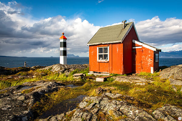
You can return to the parking lot on the same path where you came from and then visit Aspevatnet, which is also blue 😊. The path to Aspevatnet is easy, with fewer rocks and it's definitely worth the detour. You will pass by a cabin and a small bridge over the river and after few hundred meters you will reach Aspevatnet.
From what I could see from the hiking trail to Aspevatnet, it seems that there is no dry pass towards Blåisvatnet and you'll probably need to take your shoes off and go through the river to reach the other side. The river here is quite calm and shallow, so I don't think there is a problem when crossing, however similar stones and rocks as in the pictures above can be found here as well.
Where to stay in Lyngen Alps?
We stayed for 6 nights in Svensby at Solheim Fritidsgård, which is a great property with really nice people and it's very close to this trail and others as well! You can find more places to stay on the map below.
