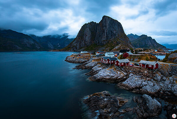
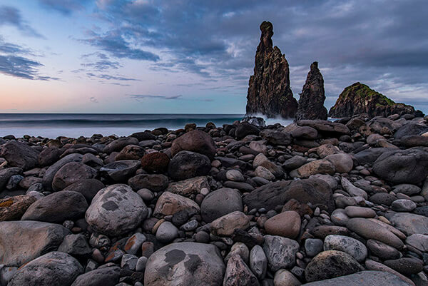
About Husfjellet Hiking Trail
According to the markings at the sight, Husfjellet has a red marking, which would mean that this is a demanding trail, however it really felt like a medium trail. It is a bit longer trail, but it definitely didn't feel demanding. After reaching the summit you can continue hiking on a narrow path with very steep edges, which might cause problems for people that have fear of heights, however this is optional. The most beautiful views are at the summit.
Height: 635 m
Length: 8 km
Time: 4-5 h
Difficulty: Medium
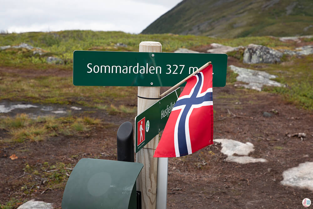
The trail goes through Sommardalen peak, 327 m. Good hiking shoes that are waterproof are a must here, as all the way to Sommardalen and a bit beyond, there might be quite a lot of mud. Going hiking to Husfjellet on a rainy day is really not worth it, as you cannot see almost anything and you'll probably be covered in mud up to your knees.
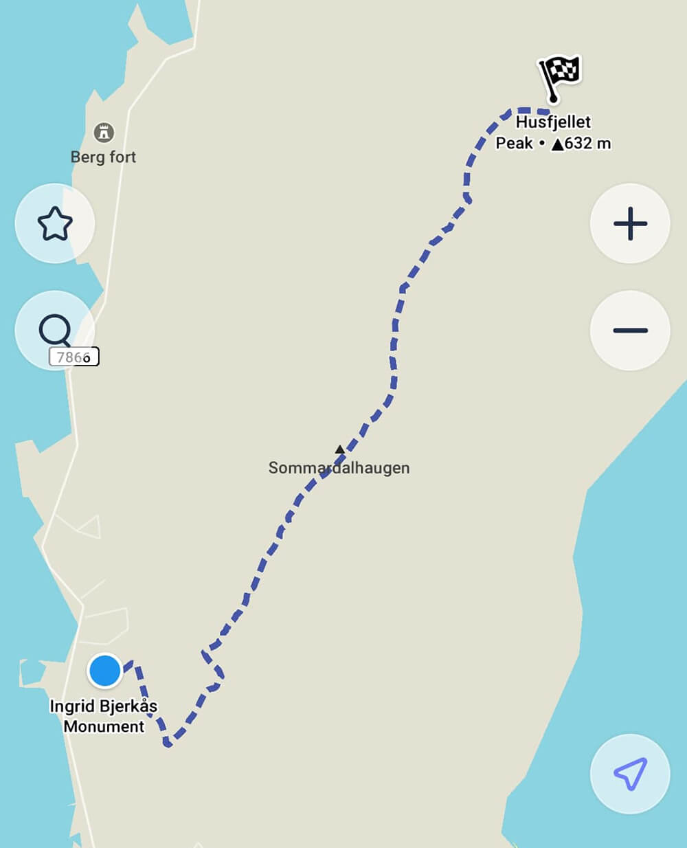
You can download maps.me on your phone to check the trail.
Getting to Husfjellet Hiking Trail
Husfjellet hiking trail starts from the Berg church in Skaland. Get directions.
There is enough parking space for cars, so most likely you won't have problems finding a spot. If you want to spend the night close to the trail I recommend Skagi Senja hotel & lodge. It's nothing fancy, but it has a good restaurant and cozy rooms. This hotel is right next to the trail.
Husfjellet Hiking Trail - Own Experience
When we arrived to Senja the weather was quite awful. It was raining, windy and dark for 2 days straight. We tried to hike to Riven, which was supposed to be really easy, but we quickly abandoned as the rocks were really slippery when wet, not to mention the huge pile of mud that we almost got stuck into at the bottom of the trail. This is why I wouldn't recommend hiking anywhere on Senja Island when it's raining.
We had no choice but to wait and hope for a sunnier day. Luckily the rain stopped on the same day we were leaving Skaland, so after breakfast we headed off to Husfjellet.
Reading about this trail before hand, I got a bit conflicted when I saw the red marking at the start of the trail. Besides Hesten, it was the only other hiking trail I was attempting on Senja, so I really didn't know what to expect.
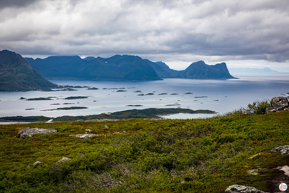
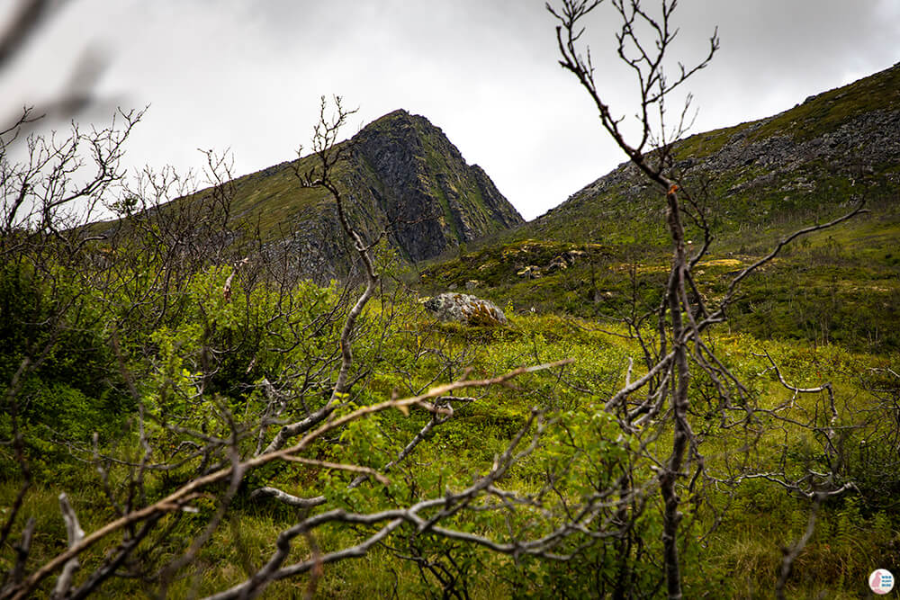
The first part of the trail was going through some small trees on a really muddy path. The descent was quite steady, but because of the slippery mud this was actually the most difficult part. After about 2 km the views started to open up towards Bergsfjord.
Sommardalen peak and viewpoint is about 2 km from the starting point and the height here is 327 m, so half of the total trail height.
This first part was the steepest and most demanding of the whole trail, even though looking at the horizon it might look otherwise. From the picture below you see Husfiellet in the distance.
After Sommardalen there is a short walk through a straight and very muddy valley. There were a few planks that helped with getting across, however the planks were quite flimsy and when jumping between them there was a high chance of stepping in a really deep mud and getting wet.
After getting across the valley there is a steady ascend to one of the viewpoints along the way. From here on things are dry and relatively easy. Rocks on the path provide good grip and there are no steep edges at this point.
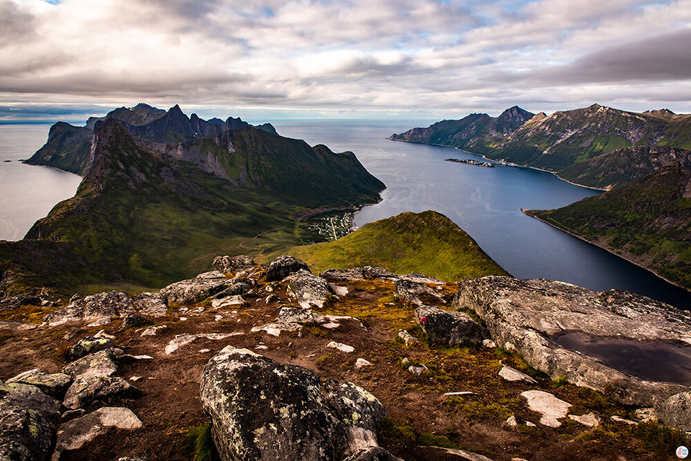
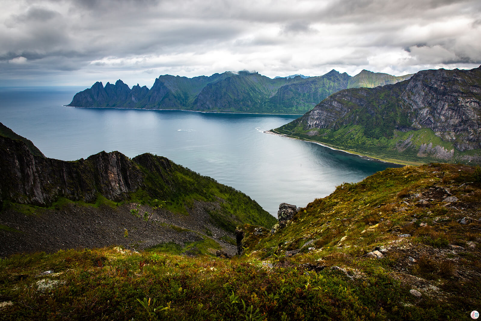
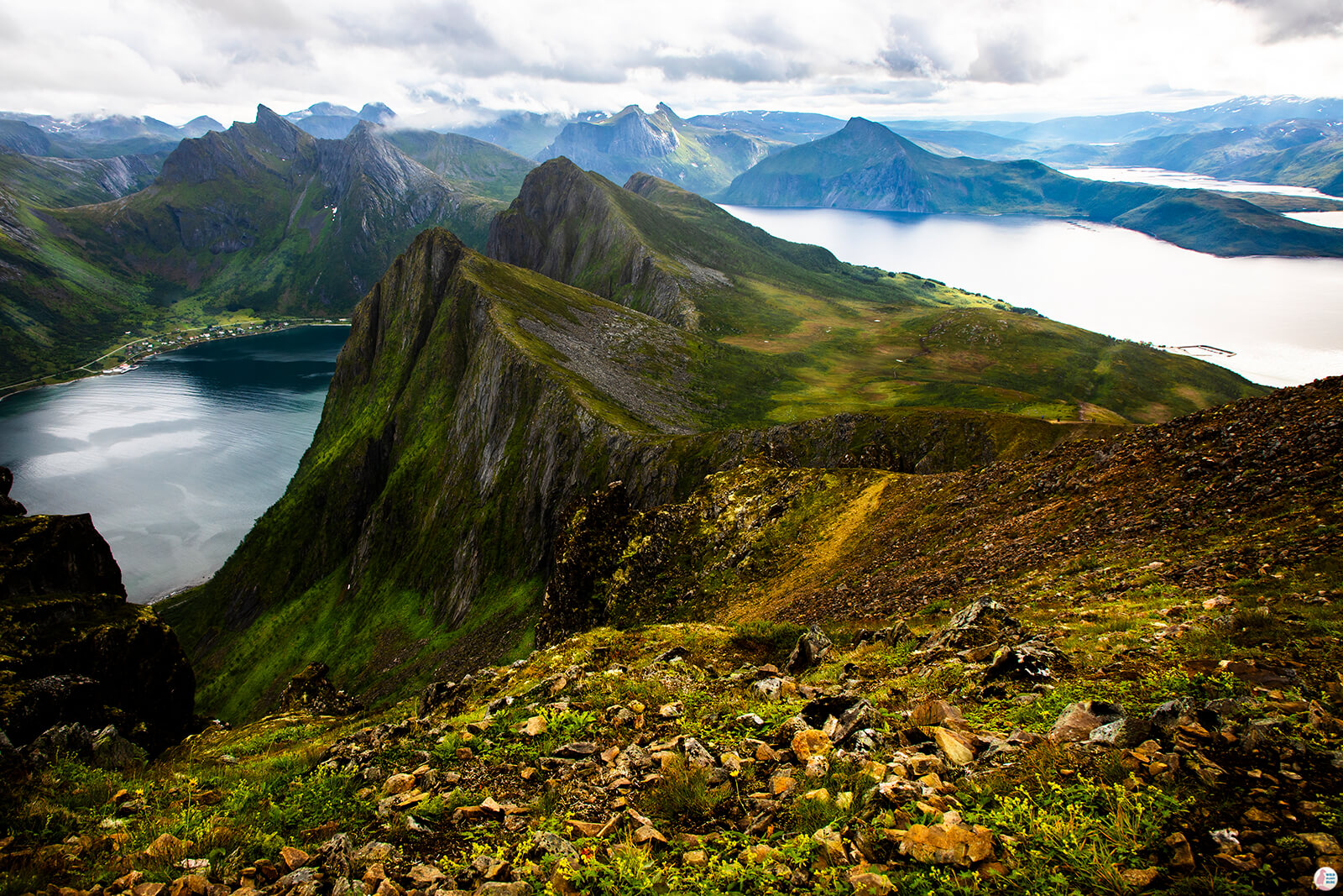
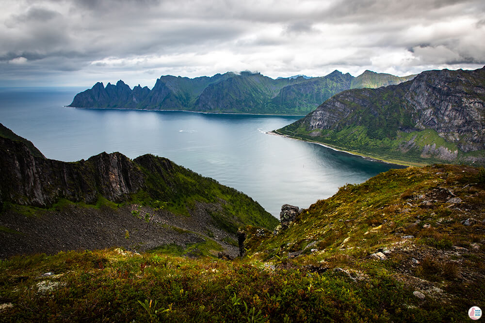
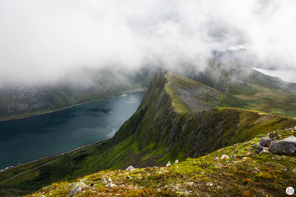
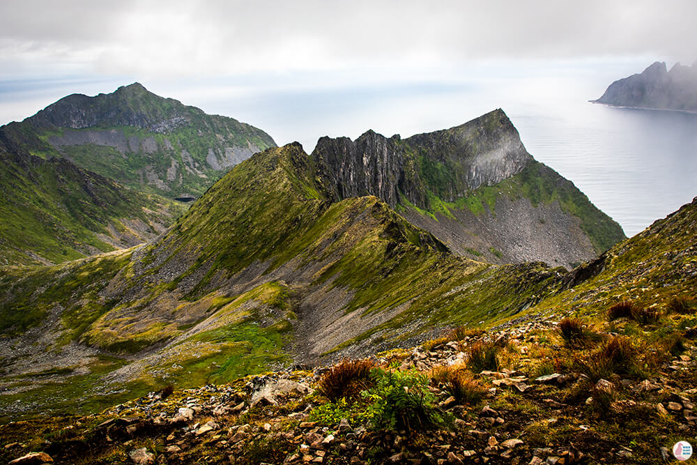
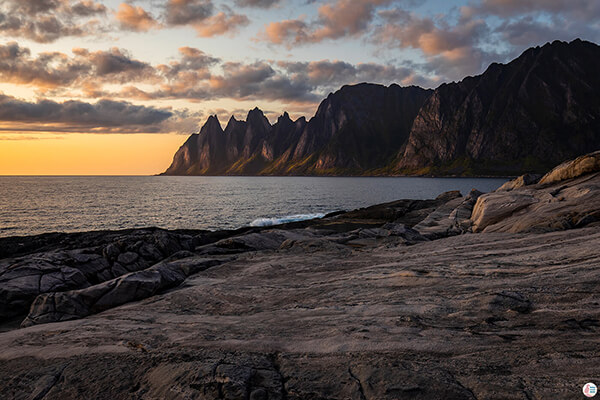
When you reach the edge you'll get to see the amazing mountain ridge towards Ersfjord, the same one you see from Tungeneset viewpoint, only that this is from above and there's a lot more spectacular view in between.
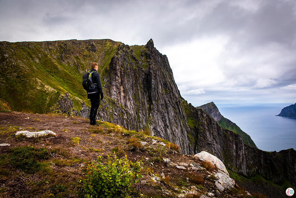
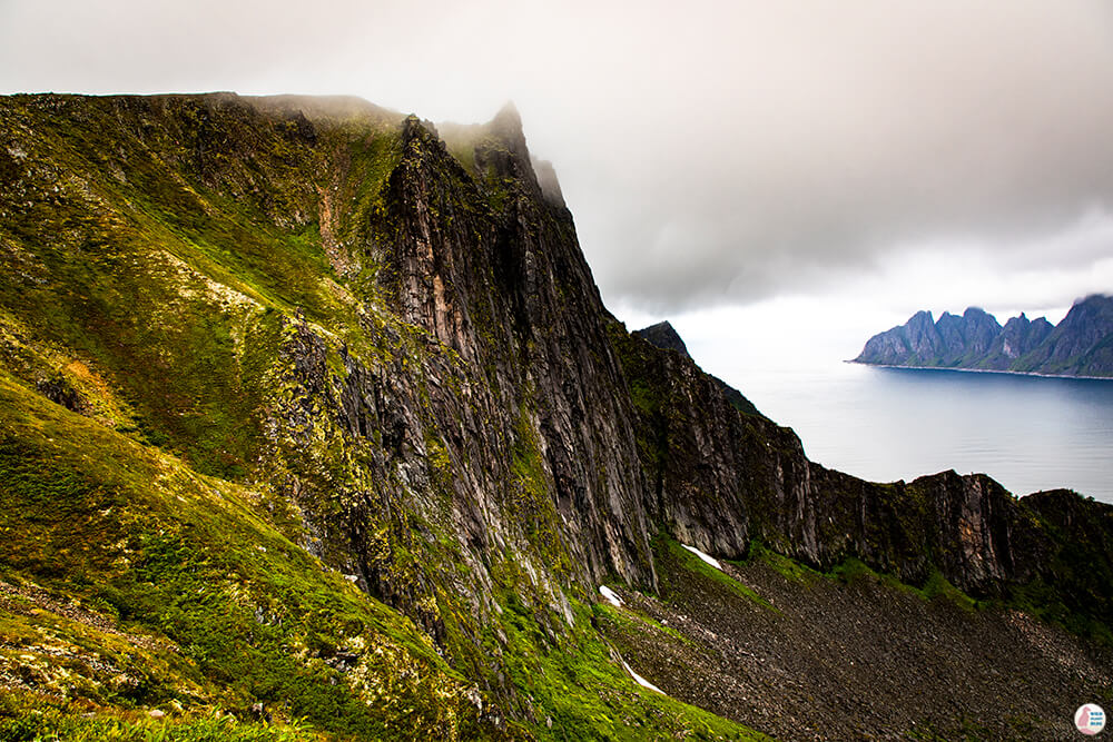
We spent quite some time here admiring the mountains, especially the vertical cliff on the left on top of which we'll eventually get. It's also a good time to stop for a snack as the place is sheltered from the wind and a lot warmer than the peak.
After a short rest it was time to go up on a bit steeper path, next to the edge of the cliff. The path to the top is very wide and you can take a lot of distance from the edge or walk very close to it if you choose so. Lots of rocks on this way, so those good hiking shoes came in handy also here.
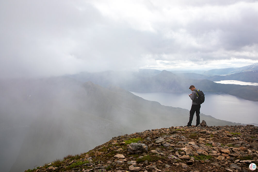
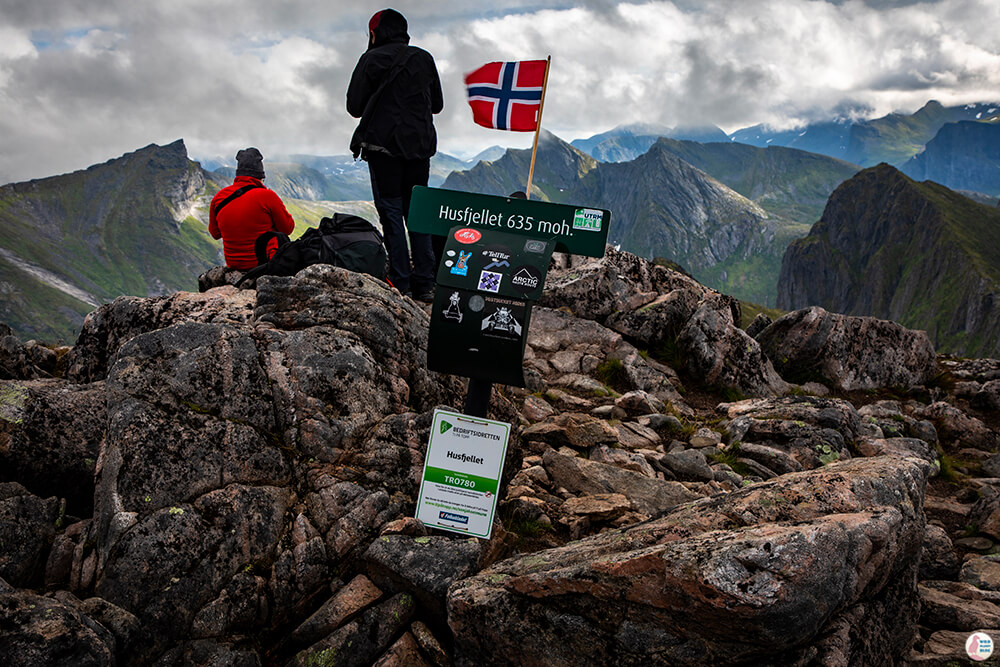
After this last ascent we finally reached Husfjellet peak, only to be surrounded by fog.
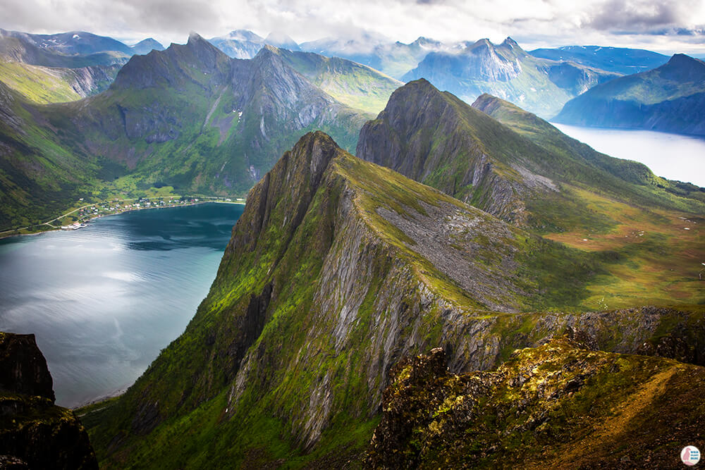
It was significantly colder than at the previous stopping place and it even rained a little. My boyfriend continued on the narrow path a bit further, however due to my slight fear of heights I stayed put at the peak. After 30 - 40 minutes the fog started fading away and the great landscape of this place revealed itself.
Husfjellet was one of the best hiking trails I have ever experienced and it was definitely worth the 2 days wait. Senja's magnificent peaks and fjords are the best landscape a photographer can wish for!
