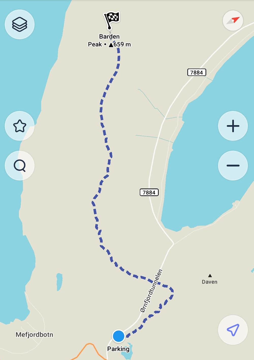
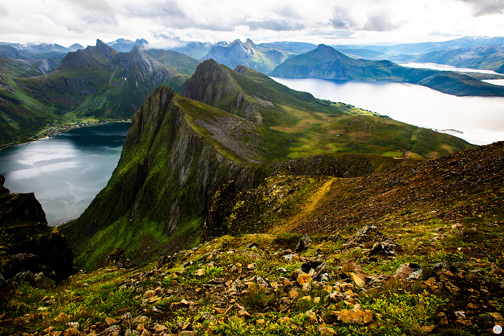
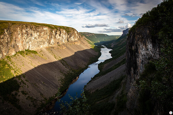
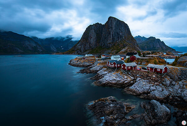
There are two hiking trails that lead to Barden, one starts from Fjordgård, the same place where Segla hiking trail starts from and one starts from a small parking place before the Ørnfjord Tunnel. The first one that starts from Fjordgård is a steeper, shorter and more demanding trail (5.2 km total, 2.6 km one way) and the one that starts from before the bridge is a bit longer and probably more enjoyable trail with awesome views towards Ørnfjord. Since I am a bit afraid of exposed, steep ridges I picked the longer trail and this is the trail I am describing in this article.
About Barden Hiking Trail
Barden is my favorite hiking trail so far, partly because of the amazing views, but also because it is also a very interesting hiking trail, with a reasonable difficulty level, just perfect to push yourself a bit beyond the comfort zone.
Height: 659 m
Length: 7 km (3.5 km one way)
Time: 5 - 6 h
Difficulty: Medium - Demanding
According to the Norwegian standards the trail is marked with red, which means demanding. In comparison to Husfjellet, which was also red, it's definitely more demading. There are 2 parts of the trail which might be a bit tricky for those with fear of heights (like myself), but I only had problems when getting up. Somehow when getting down my fear of heights completely disappeared. The trail is very wet at the beginning, so waterproof hiking shoes are a must!
Getting to Barden Hiking Trail
As described above, the hiking trail starts from a small parking place situated just before the Ørnfjord Tunnel. Get directions.
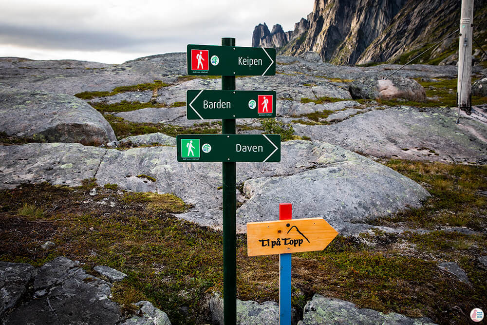
There are perhaps about 10 cars fitting in this parking place and there are no toilets. There are 3 trails starting from here: Barden hiking trail, Daven hiking trail and Grytetippen/Keipen hiking trail. Daven is only 303 m high and it's quite close, so we actually went to Daven as well when we got back from Barden.
Barden Hiking Trail - Own Experience
The trail starts with a sign saying that Barden hiking trail is exposed and might cause problems for people with fear of heights, so I got a bit intimidated by that.
The trail has 6 parts: one very muddy part, three easy and almost flat parts, one steep and exposed part (but in the end not that bad) and one a bit exposed, with a small trail along the mountain, where you need to watch your step.
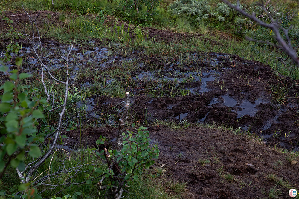
First part is very muddy and it actually takes quite a long time to go through it, even though it's not very long. Avoiding all the mud is impossible and it's really important to get good, waterproof, above the ankles hiking shoes to get through here. Here is a picture so that you'll have a clear vision of what I am talking about. When you walk on that, your shoe actually sinks pretty deep and it's kind of nasty. Wet shoes can ruin your feet and make your hiking experience really uncomfortable, so it's good to keep dry.
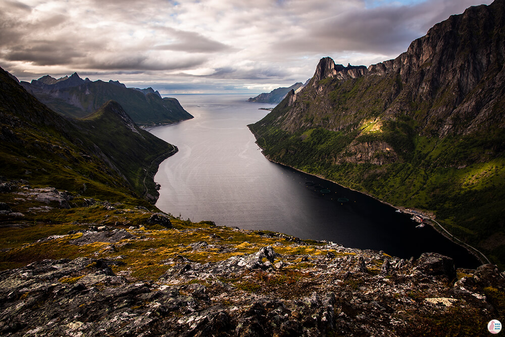
After the mud part the views start opening up towards Ørnfjord and you finally get to walk on a nice rocky, flat surface until you get to a tall cliff.
I was really wondering where the trail goes, but then I noticed the blue dot markings on the cliff and I was really contemplating whether I should keep going or not.
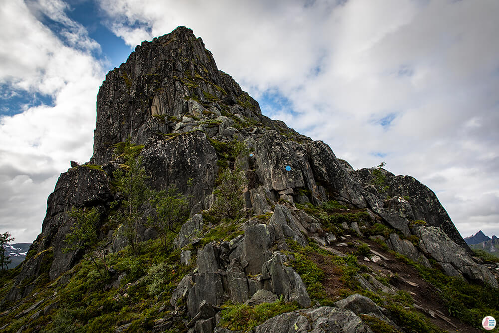
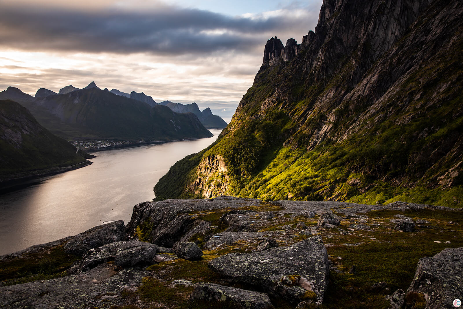
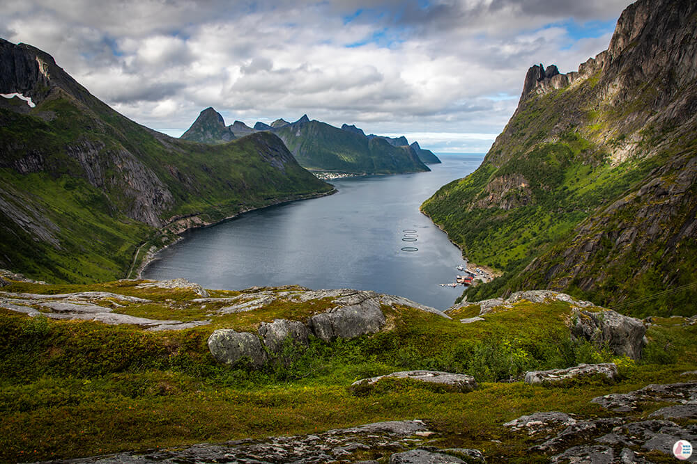
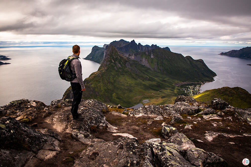
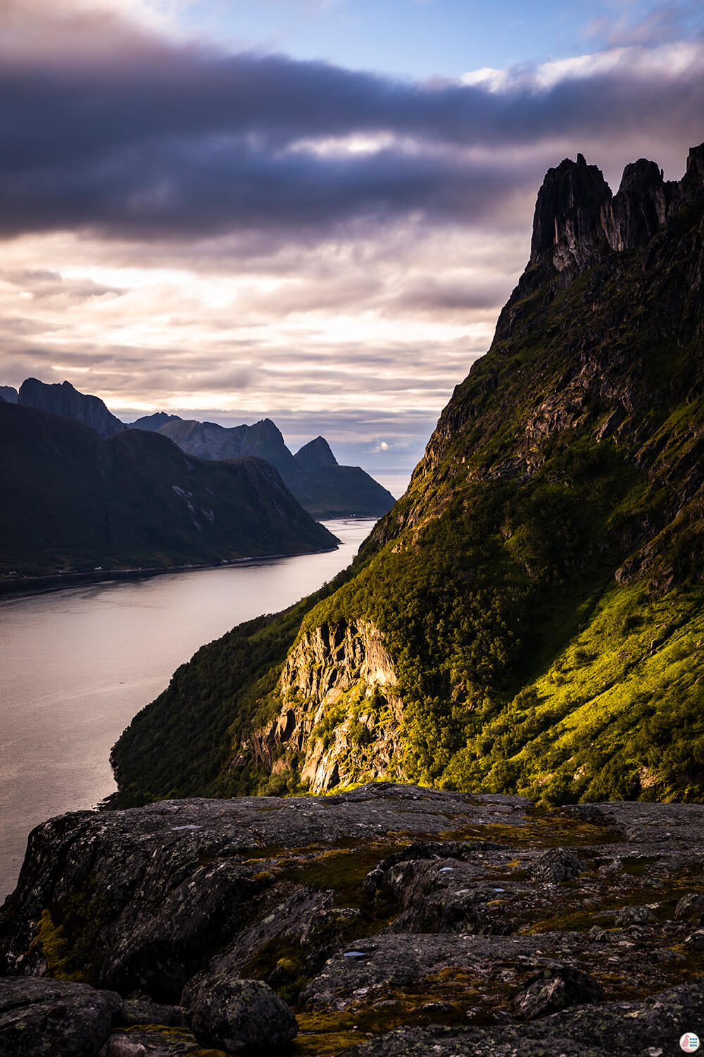
After stopping near the cliff for a while, taking some pictures, having a snack and almost giving up I saw a group of women that were almost running through those rocks and I decided to ask them how does the trail look like after this cliff. Turns out that this is the most difficult part of the whole trail and it flatens out after you get to the top. Somehow seeing these women run through there gave me a lot of confidence and decided to go for it. Best decision I ever made! When you actually get into it, it is not that bad. There are many rocks to hold on to, it's not slippery and you can definitely take your time. Some steps are a bit difficult and tall and it requires both legs and hands to get up. When you get to the top you'll see Ørnfjord in all its glory and a really cool view towards the valley below, where you started from! I took the picture below on my way back from Barden peak, when you can see a hint of sunset.
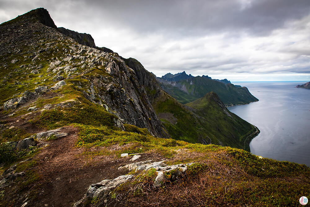
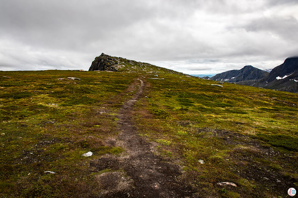
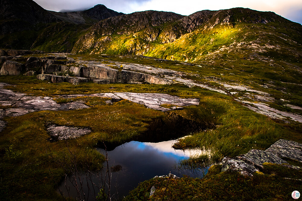
After this part, the trail is quite flat and easy for a while and really beautiful.
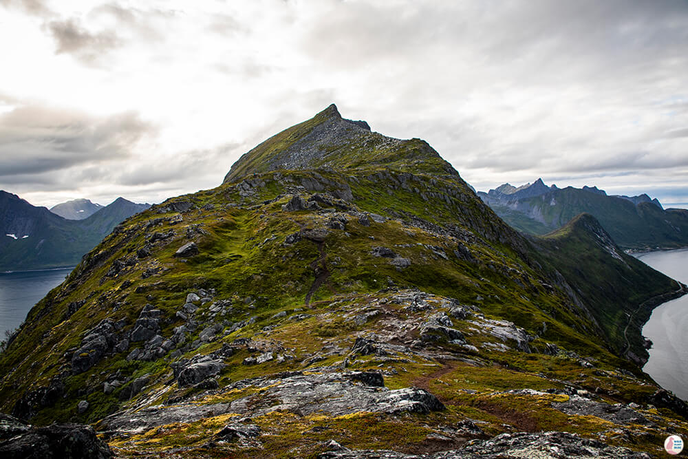
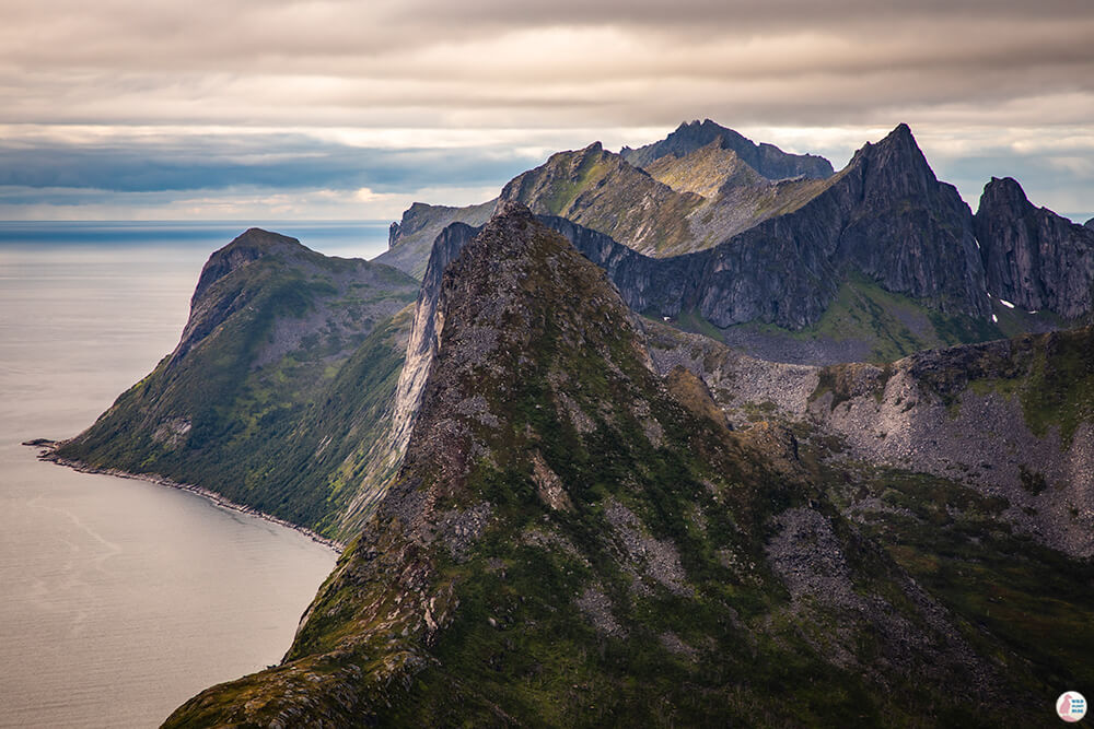
The trail will start getting a bit narrow on a weird angle when you need to cross the last part of the mountain you see in the picture below. Again, it looks scarier from the distance and once you get there you just need to be a bit careful, but it's not too bad.
After this part, there is a really flat trail that leads straight to Barden mountain peak.
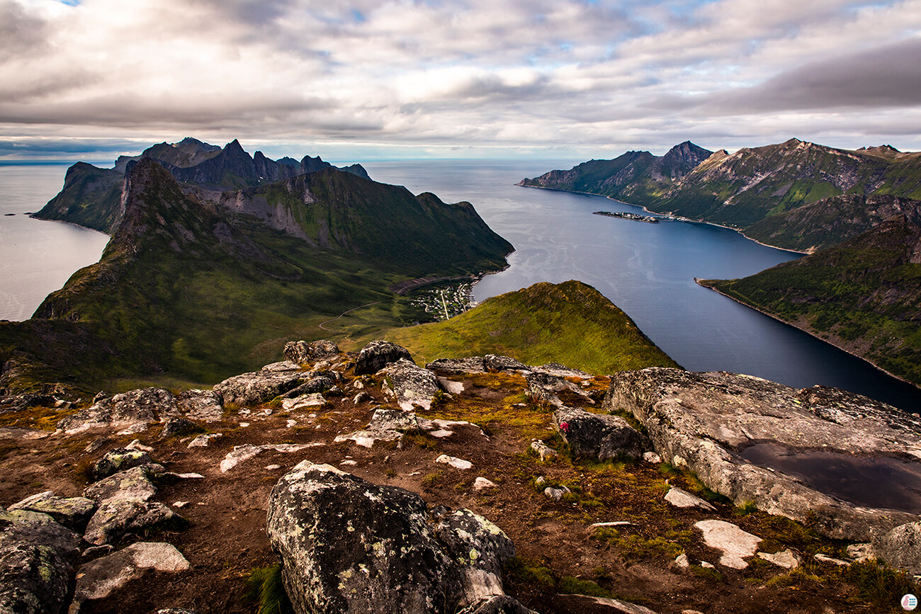
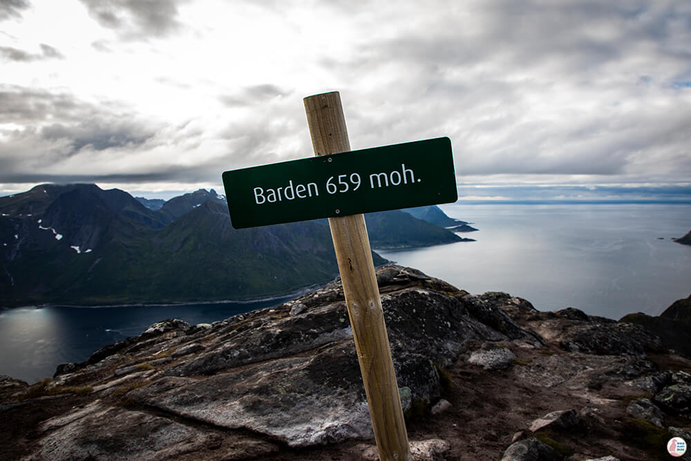
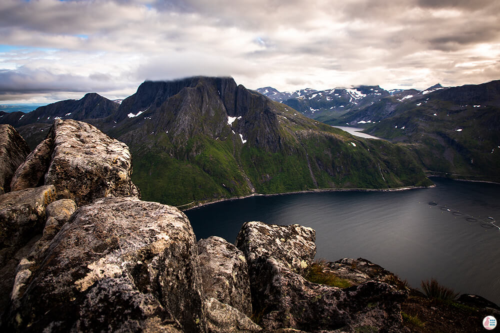
Like all amazing hiking trails in Norway the end of the trail is a vertical drop straight into the most famous fjord on Senja Island, Mefjord, with 360 panorama views on all sides! You'll get to experience the views of both Mefjord and Ørnfjord from Barden's peak!
Checking Segla hiking trail from here, you can really see how worn the trail is!
Somehow I was more afraid of the way back down, but after these amazing views I was somehow cured of my fear of heights! I didn't have any problems going back, probably I was still high from the amazing landscape I got to witness!
I even had energy to still go to Daven, which is just 500 m or so detour from the main trail.
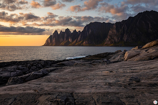
I actually got to experience an amazing sunset!
Patella tendonitis injury tto one of my kness just one month before my trip to Norway made this hike quite challenging for me and I almost quit 3 times! I am so glad that I didn't quit and that I made it all the way to the top! Probably for someone that is in good shape and has a lot of hiking experience, this trail would be just a medium level and could complete it in 4 hours or so. Using good knee braces and hiking poles made this trip a lot easier on my knee and luckily my injury did not get worse.
Barden was the peak of my holiday through Northern Norway and I definitetely recommend this trail!
